Precise mapping for built and natural environments.
Photometric provides professional land surveying and geospatial solutions — from precise 3D modeling and photogrammetric surveys to supporting complex aerial‑based infrastructure development projects.
Why Photometric
What sets us apart in the market
Our services
Complex geospatial and land surveying solutions

Our Workflow
A streamlined approach from initial consultation to final delivery.
Consultation and needs assessment
We analyze the project scope, accuracy requirements, and desired output formats to define a tailored measurement strategy.
Field data acquisition
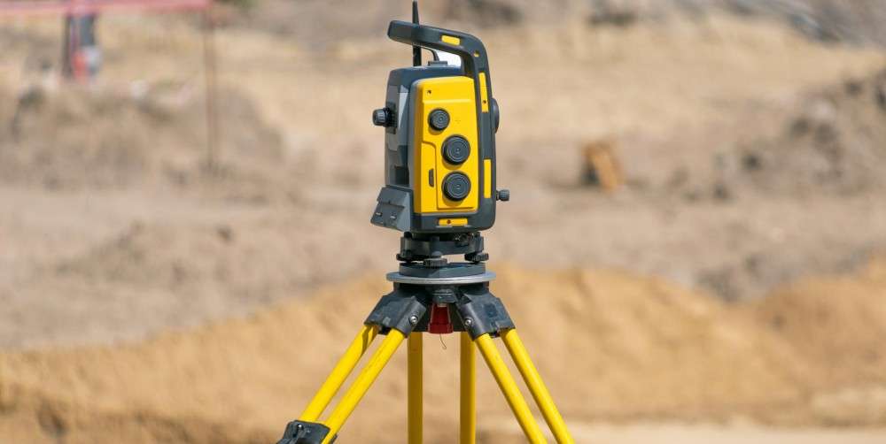
Our team deploys the appropriate surveying technologies and performs data collection with strict quality control.
Processing & Delivery
Engineering‑grade data processing, delivery in your preferred formats, and ongoing technical support.
Do you need accurate geospatial data for your project?
Let’s discuss how our land‑surveying and photogrammetry services can support your engineering objectives.
Our Products
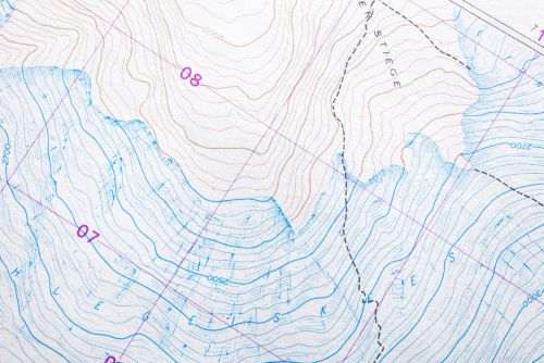
Contour site plan
A land‑surveying work component that represents the terrain’s topographic relief and planimetric features using contour lines and additional cartographic elements.
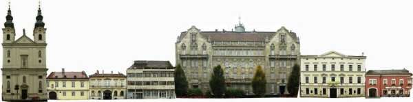
Orthogonal streetscape
A technical representation that displays street‑front elevations in a flat, front‑facing, distortion‑free view at a consistent scale.
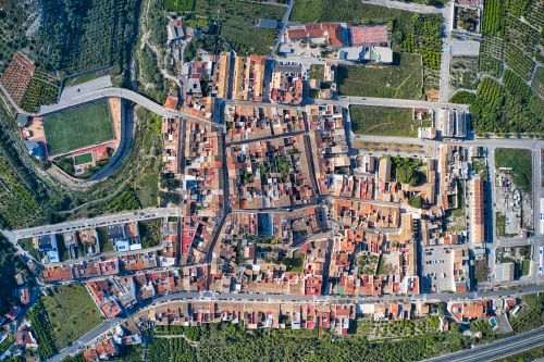
Orthophoto
An orthophoto is a raster image in which every pixel is mapped to its true geographic position, providing a scale‑accurate and distortion‑free representation within the given projection system.
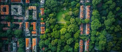
Aerial photograph
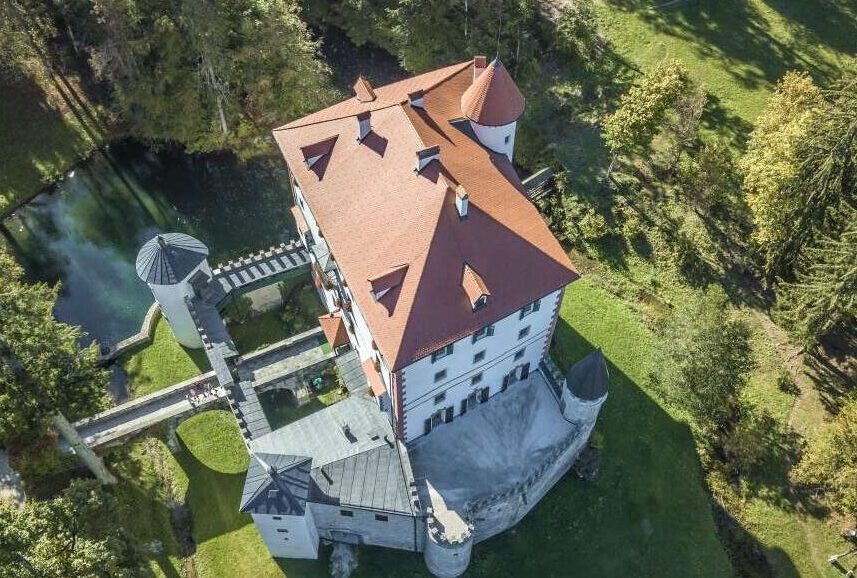
We capture oblique and nadir aerial photographs and aerial panoramas using a drone equipped with a professional geodetic‑grade GPS receiver or a 14‑meter elevated photo mast.
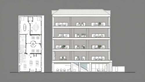
Section drawing
A section drawing is a technical representation that shows the vertical profile of the terrain or structure along a defined line, illustrating elevation changes, geometric relationships, and engineering‑relevant details.
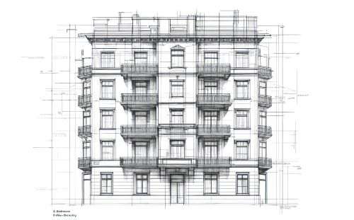
Elevation drawing
A technical drawing that depicts the exterior view — the façade — of a building in a distortion‑free, true‑to‑scale format.