


Facade elevation drawing
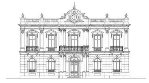
A façade elevation is a distortion‑free, scale‑accurate technical drawing that presents the exterior view of a building — its façade. The purpose of the document is to record the precise placement of doors and windows, roof geometry, balconies, decorative façade elements, and other architectural details.
Functions of a façade elevation
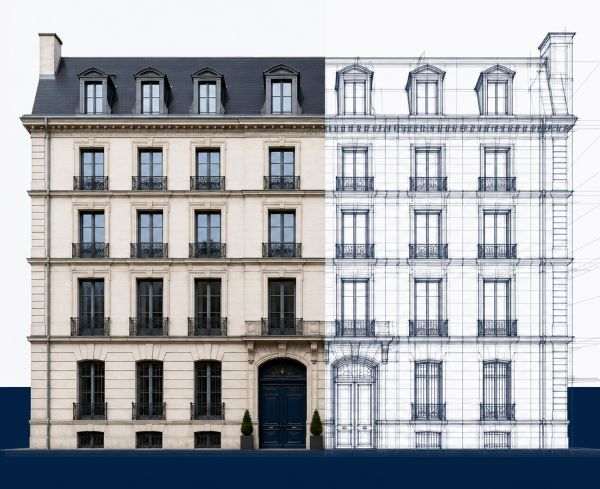
Permitting procedures
It is a fundamental component of the building permit documentation and a mandatory element when submitting the application.
Urban visual impact assessment
It supports assessing how the building or the planned renovation fits into the surrounding cityscape.
Heritage preservation and restoration
A critical tool in protecting heritage buildings and in authorising alterations and restorations.
Design process
An architectural decision‑support document that helps determine the building’s exterior proportions and overall appearance.
Delivery formats
We provide the final deliverables to our clients in the following formats:
- Vector: editable DWG/DXF files (AutoCAD).
- Raster: a scale‑accurate façade orthophoto that can be inserted into any CAD system for vectorisation.
- 3D model: ArchiCAD (.pla) format, which can also be displayed in virtual reality (VR).
Ready to bring your project to life?
Contact us and request a personalised quote for our engineering‑precision solutions.