


3D point cloud
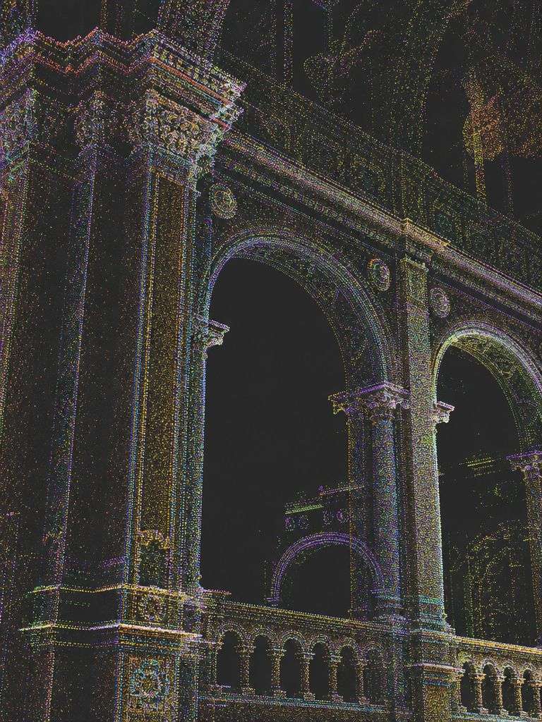
A 3D point cloud is a three‑dimensional dataset that contains the precise spatial points of an object or environment with high accuracy and the required level of detail. Each point represents a specific location on the examined surface or structure, and the density of these points determines the level of detail of the modelled area. 3D point clouds are widely used in architectural, engineering, and geodetic applications, and they form one of the most essential foundations of three‑dimensional modelling.
Beyond visual information, the point cloud also records geometric data, enabling the creation of detailed models and visualisations later on.
What is a 3D point cloud used for?
Architectural modelling
A 3D point cloud is used to capture the precise geometric data of a building. It helps architects and interior designers in planning, documenting existing structures, and obtaining accurate baseline information for renovation projects.
Geodetic surveying
The use of a 3D point cloud is essential in surveying and geodetic work, as it provides extremely accurate data about terrain shapes and geographical features. The point cloud supports the transfer of field conditions into digital maps.
Cultural heritage preservation
Digitising buildings and monuments with 3D point clouds enables their precise preservation, which is essential for protection and restoration. The digital models created from point clouds allow accurate analysis of heritage structures and support the necessary conservation work.
Real estate market
With the help of 3D point clouds, highly detailed and accurate models can be created that support property presentation, surveying, and valuation within the real estate market.
Mining and industrial applications
In mining and industrial environments, 3D point clouds support the precise spatial modelling of mining areas, factories, and industrial facilities, enabling better analysis and workflow optimisation.
How is a 3D point cloud created?
Various measurement technologies can be used to create a 3D point cloud, depending on the nature of the project and the required level of detail. The most commonly used methods are the following:
3D laser scanning
It is a highly accurate surveying technique that uses laser beams to capture the spatial data of objects and their surroundings. The scanner determines the distance of each measurement point based on the reflection of the laser beam, and the recorded points are then used to generate the 3D point cloud.
There are two main types:
1.Mobile laser scanning: A mobile laser scanner is a portable device that can be mounted on vehicles or even used handheld while moving. It collects data from buildings, streets, sites, or large spaces as the operator moves through the environment.
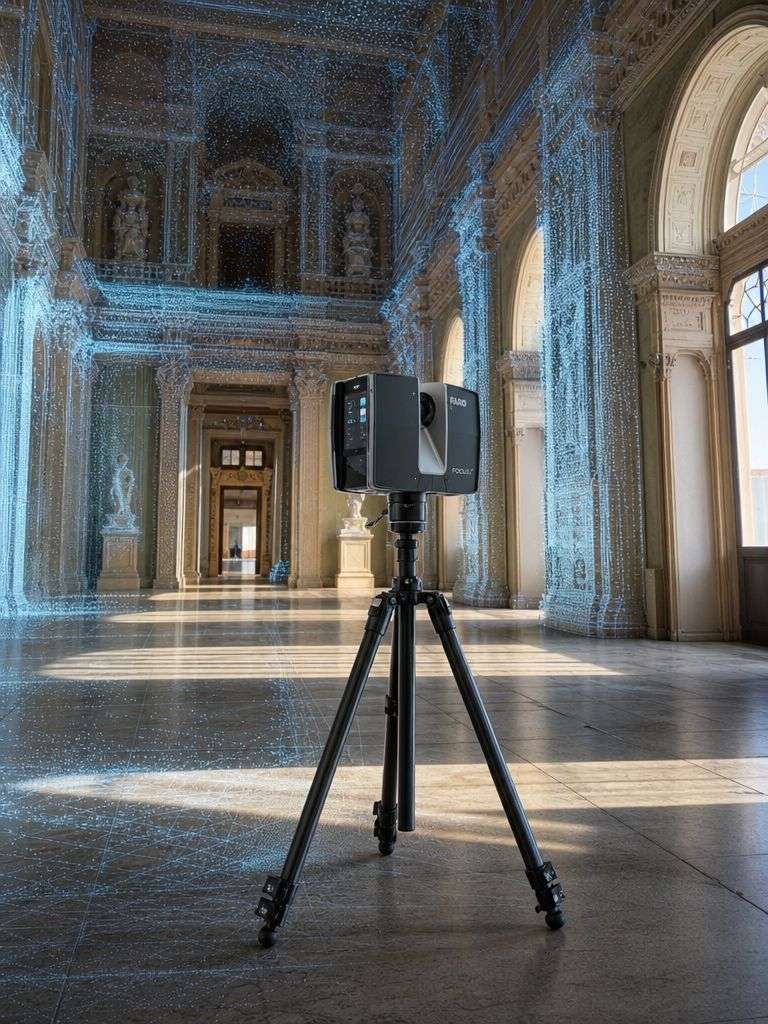
2.Static laser scanning: A static laser scanner is a fixed device that captures measurement points from a single position. It scans its surroundings in approximately 360 degrees and converts the collected data into a point cloud, which can later be used to create three‑dimensional models.
Photogrammetry
A three‑dimensional data acquisition method that uses overlapping photographs taken from multiple angles. By analysing these images, photogrammetric algorithms can reconstruct spatial shapes with high accuracy.
There are two main types:
1. Aerial photogrammetry Aerial photogrammetry is performed using drones or aircraft. The photographs captured by onboard cameras are processed with specialised software, which generates three‑dimensional point clouds and models. This method is ideal for fast and accurate surveying of large areas such as agricultural fields, construction sites, or landscapes.
2. Close‑range photogrammetry Close‑range photogrammetry is based on ground‑level photographs taken from different angles. These images are used to produce three‑dimensional data. This method is typically applied to smaller areas, such as buildings, monuments, or artefacts, where detailed and precise documentation is required.
Who benefits from 3D point clouds?
- A 3D point cloud is an extremely important and versatile tool that supports various industries in acquiring precise spatial data and applying the resulting digital models effectively.
- During architectural planning and reconstruction projects, 3D point clouds provide highly accurate spatial data, supporting the creation of plans and models and enabling more efficient execution of renovation work.
- For surveyors and geodesists: For geodetic and land surveying professionals, 3D point clouds are an essential tool for accurately capturing field conditions and producing maps and digital models.
- For real estate professionals: In the real estate sector, 3D point clouds support the detailed and accurate presentation of buildings and help determine property value with greater precision.
- Cultural heritage preservation: For heritage conservation professionals, 3D point clouds provide the ability to digitally record monuments and historical structures, playing a crucial role in their preservation and restoration.
- For industrial professionals: In the industrial sector, 3D point clouds are highly valuable, especially in manufacturing, mining, and other large‑scale industrial operations where spatial data and digital models support workflow optimisation and safe, efficient execution of tasks.
Point cloud formats
We can deliver the point cloud to our clients in virtually any agreed file format (e.g., E57, RCS/RCP, LAS/LAZ, PTX).
It is important to note that point clouds generated with static laser scanners result in so‑called structured datasets, while data produced through photogrammetry or mobile scanning methods create unstructured point clouds.
Structured point clouds contain more information (e.g., scanner positions) and provide better navigation in the 3D environment (such as integrated panoramic images), but the files are significantly larger and more complex. In contrast, unstructured point clouds can be stored in smaller files, although their information content and processing possibilities are more limited.
Ready to bring your project to life?
Contact us and request a personalised quote for our engineering‑precision solutions.