


3D modelling, CAD processing
The digital imprint of reality: we create engineering‑grade 3D models based on on‑site surveys and existing plans. With our photogrammetric and geodetic technologies, we produce highly detailed, true‑to‑reality models that meet even the highest documentation standards — from heritage preservation to industrial design.
Types of 3D modelling
Our service offers four different modelling methods, tailored to the goals of the project.
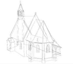
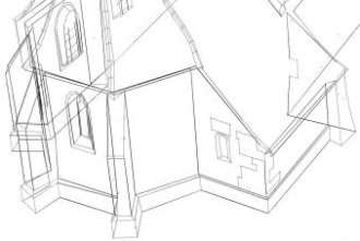
3D wireframe model (vector‑based)
A framework composed of spatial edges connecting points, capturing the geometric structure of the object.
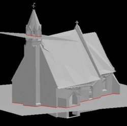
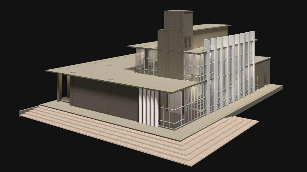
3D surface model
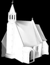
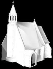
A model enhanced with bounding surfaces, suitable for rendering and for the precise determination of cross‑sections and longitudinal sections.
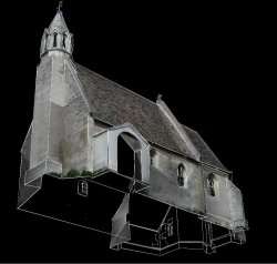
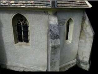
3D photorealistic model
Thanks to the textures transformed onto the model through photogrammetric processing, the model combines engineering‑grade accuracy with photographic detail.
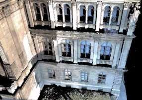
3D point cloud
The result of modern laser‑scanning technology: an extremely dense and highly accurate spatial dataset composed of millions of measured points.
Application possibilities: What do you gain from it?
Our models are not merely visual tools, but precise sources of measurement.
Technical documentation
Creation of floor plans, elevation drawings, and sections in any desired planes.
Heritage conservation
Precise documentation of our architectural heritage, including the examination of wall paintings and structural elements.
Industrial application
Digital twin models of complex mechanical systems, piping networks, or even entire industrial facilities.
Ready to bring your project to life?
Contact us and request a personalised quote for our engineering‑precision solutions.