


Aerial photograph
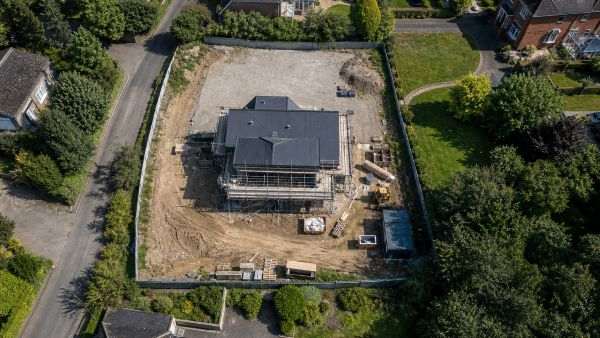
From high altitudes, we capture vertical or oblique‑axis aerial photographs using a professional drone, providing comprehensive perspectives of the ground surface, buildings, or other objects. If drone flight is not advisable due to technical or legal constraints, we can produce high‑resolution, detail‑rich “aerial” images from up to approximately 15 metres using a telescopic mast. In our experience, this height already offers sufficient visibility for marketing photographs of residential houses or for documenting hard‑to‑access façade details of heritage buildings.
When is aerial photography useful?
Real estate listings and investment presentations
Construction project documentation (before–during–after)
Aerial event photography from a bird’s‑eye perspective
Presentation of plot boundaries and site coverage
Architectural design and visualisation support
Our engineering services related to aerial photography
Ready to bring your project to life?
Contact us and request a personalised quote for our engineering‑precision solutions.