


Contour site plan
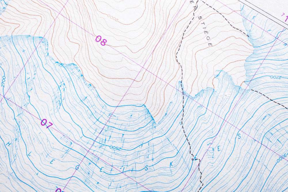
A contour site plan is a surveying deliverable that presents the terrain’s topographic conditions and planimetric features using contour lines and other cartographic elements. It plays a key role in preparing construction designs and land‑development projects, as it provides an accurate representation of slopes, elevation differences and surrounding site characteristics, helping to visualise varying height levels across the area.
What is a contour line?
Contour lines are lines that follow points of equal elevation.
What is a contour site plan used for?
As part of the building permit documentation
For landscape architecture and garden design projects
For drainage and stormwater management planning
For geotechnical and structural calculations
For developing plot‑development concepts
Ready to bring your project to life?
Contact us and request a personalised quote for our engineering‑precision solutions.