Products
Here is a selection of characteristic products and services from our portfolio:
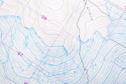
Topographic plan with contour lines
Topographic survey plan (or topographic map) representing the terrain’s relief and planimetric features through contour lines and other cartographic elements.
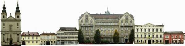
Orthogonal street view
Technical drawing representing street-facing facades in a single plane, front-on, distortion-free, and to a uniform scale.
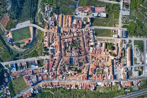
Ortophoto
An orthophoto is a raster image in which every single pixel is mapped according to its true geographic location, providing a scale-correct and distortion-free representation within the given projection system.

Aerial photograph
We capture oblique and nadir aerial photographs and aerial panoramas using a drone equipped with a professional geodetic GPS receiver or a 14-meter-high photographic mast.
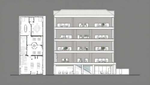
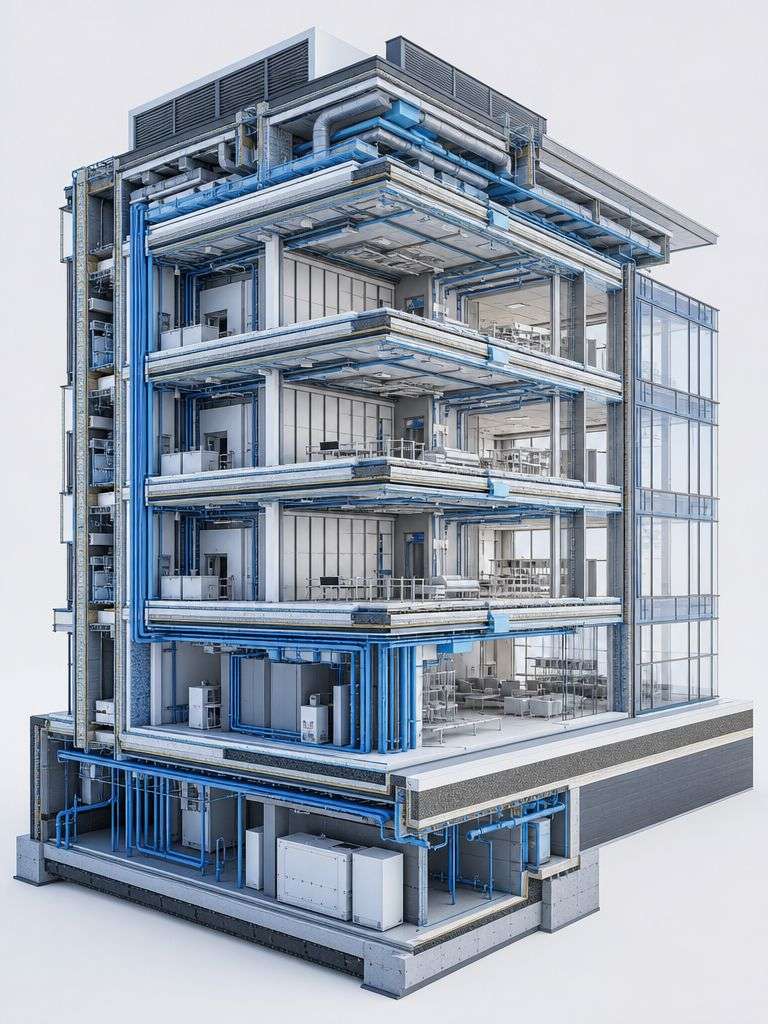
Section drawing
A section drawing is a technical drawing that shows the internal structure of a building, other structure, or terrain as if “cut” by an imaginary vertical plane.
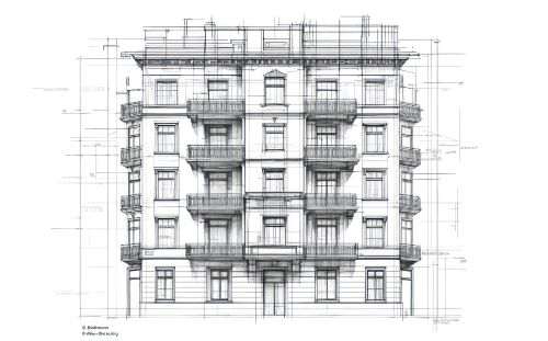
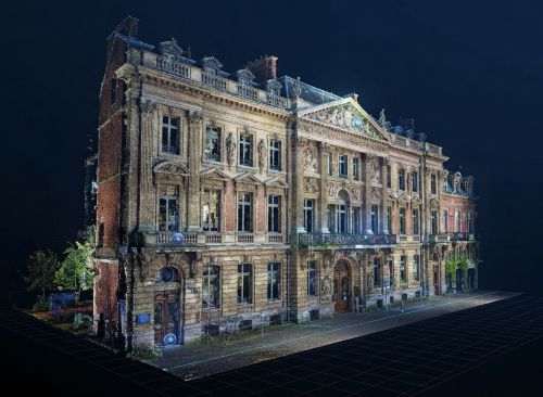
Facade drawing
Technical drawing representing the external view, or facade, of a building in a distortion-free, scaled format.