


3D virtual tour
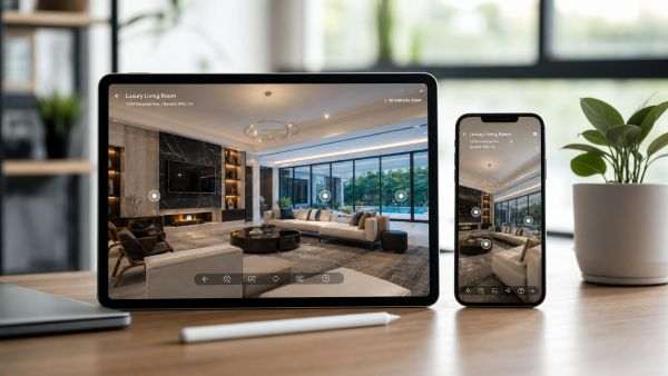
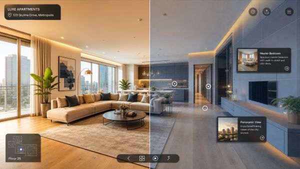
A 3D virtual tour is an interactive, browser‑based application that allows users to explore a real‑world space—such as a building, apartment, or outdoor area—virtually. During the tour, the user navigates within a three‑dimensional environment and can view the space from multiple angles in real time, while also accessing additional information about specific areas. A 3D virtual tour provides a highly realistic experience, closely resembling physical presence in the location.
A 3D virtual walkthrough is an extremely useful and versatile tool that enables users to explore indoor or outdoor environments in a detailed and interactive way. Whether in real estate, architectural design, tourism, or education, 3D virtual tours offer a realistic method for discovering places and support informed decision‑making—regardless of distance.
What is a 3D virtual tour used for?
Real estate
3D virtual tours are particularly useful in the real estate sector, as they allow prospective buyers or tenants to view houses, apartments, or other properties without having to visit them in person. This saves time and energy while providing a detailed and realistic understanding of the space.
Architectural presentations
In architectural projects, 3D virtual tours enable clients and project managers to easily review the planned building’s interior and exterior spaces before construction begins. The tour supports visualisation and helps stakeholders gain a clearer understanding of the design.
Museums and exhibitions
Virtual tours allow visitors to explore museums, galleries, and other cultural institutions online, which is especially useful for locations that are distant or not easily accessible.
Education and e‑learning
3D virtual tours can help present educational environments such as laboratories, historical sites, or school camps, allowing students to explore these locations virtually without needing to be physically present.
Entertainment and tourism
3D virtual tours can also be used in tourism, allowing visitors to explore attractions, hotels, and tourist destinations virtually. This helps them make more informed decisions before traveling.
How is a 3D virtual tour created?
On‑site photography / scanning / floor plan surveying
The most important step is capturing 360‑degree spherical panorama images of the building or outdoor area. This is done using a specialised panorama camera or the built‑in camera of a 3D scanner. During the photography process, we often carry out a site survey as well, ensuring that the panoramas can be placed accurately onto a floor plan that reflects the current condition of the location.
Assembling the virtual tour
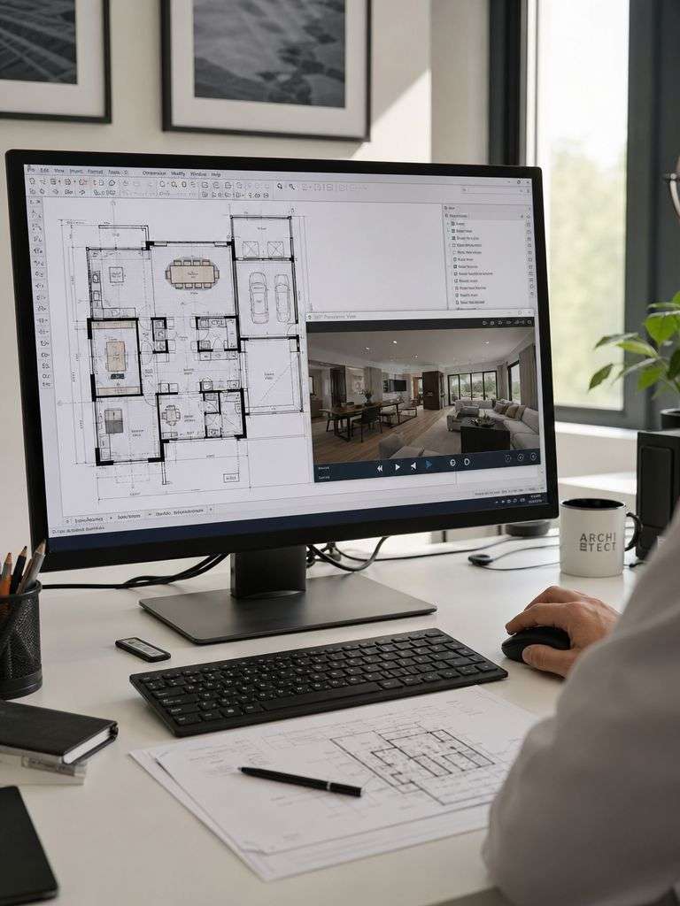
Based on the on‑site data, we create the building’s floor plan in a CAD program (typically ArchiCAD). Using a dedicated application, the panorama images are then placed onto the floor plan, and interactive connections are established between them. In the case of virtual tours generated through 3D scanning, this workflow is carried out directly within the scanner’s software.
Publishing the 3D virtual walkthrough
After adding any required interactive elements—such as hotspots, information panels, or navigation points—the virtual tour is uploaded to our or the client’s server and published online, with password protection applied when handling confidential content. The tours we create do not require any external software or plugins, making them instantly accessible across all platforms.
Delivered final product
Unlike most providers on the market, the 3D virtual tours we deliver can be viewed not only online but also offline—without installing any software—and they are completely free from monthly subscription fees. The final product can be embedded into any website with full flexibility or even handed over on a USB drive, giving our clients maximum freedom in how they use and publish their virtual tour.
Ready to bring your project to life?
Contact us and request a personalised quote for our engineering‑precision solutions.