


Floor plan
A floor plan is a technical drawing that illustrates the interior layout of a building at a specific level, from the ground floor up to the upper storeys. It presents the internal structure of the horizontally “cut” space—including rooms, walls, doors, windows, and mechanical equipment—in a clear and comprehensible way. A proper floor plan is essential for building permits, interior design, and precise technical execution.
What do we use the floor plan for?
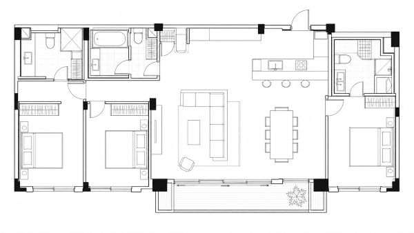
Building permit documentation
The floor plan is a fundamental design document required for obtaining building, retention, or demolition permits. It provides authorities with a clear and verifiable representation of the building’s spatial layout, ensuring that the planned works comply with regulatory and technical standards.
Interior design
It allows designers to plan the circulation between rooms, define functional zones (such as the living room or kitchen), and achieve optimal space utilisation.
Level‑by‑level overview
The structure of multi‑storey buildings becomes easy to understand, which supports both construction and renovation processes.
Technical design
Contractors and engineers use the floor plan to determine the exact placement of water and electrical lines, as well as ventilation systems.
How is a floor plan survey carried out?
During on‑site measurement, we use three core technologies, which are often combined depending on the project’s complexity and the required level of accuracy.

Handheld laser distance meter
Through a Bluetooth connection, the spaces are measured using an application running on a tablet, which provides a fast and accurate solution for smaller, simpler projects.

Total station
It is used for larger structures, ensuring precise “absolute” coordinates and measurements aligned with the EOV (Unified National Projection) coordinate system.

3D laser scanner
It is the most advanced technology, producing an extremely accurate digital 3D point cloud from which the floor plan can be generated with ease.
Deliverables of a floor plan survey
Depending on the purpose and the chosen measurement technology, we deliver the documentation in several different formats.
Floor plan orthophoto
A distortion‑free, orthogonal view of the 3D laser scanner’s point cloud, which can be displayed to scale within CAD systems.
2D vector drawing
A precise CAD‑based representation that is easy to modify and scale, making it ideal for permitting documentation.
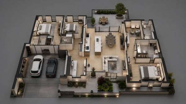
3D building model
A complete spatial model that records all building elements (walls, roofs, doors, and windows), supporting complex technical analysis and design.
Ready to bring your project to life?
Contact us and request a personalised quote for our engineering‑precision solutions.